
January 17th, 2016
Quincy Pasture Trail and the Common Cafe
New Hampshire has a bunch of different groups popping up that are working to collect pieces of land for conservation purposes. One such group is the Quincy Bog Natural Area Pemi-Baker Land Trust. The Quincy Pasture forest has been under this groups protection since 2002. That’s really a relatively short amount of time, especially when talking about establishing trails.

The trust has established trails, however, and they are absolutely worth checking out. They aren’t far from Plymouth, they offer a little known and little traveled area, and the more people use the trails, the better established the trail becomes. Note: it is extremely important to stay on the trails in conservation areas. Going off trail damages the forest, thus undermining that whole conservation goal.

To get to the trails, take Rt. 25 North (in a westward direction) from Plymouth until it meets Quincy Bog Rd. on the right. Take a right on East Rumney Rd. and look for the Quincy Forest trail head parking on the left.

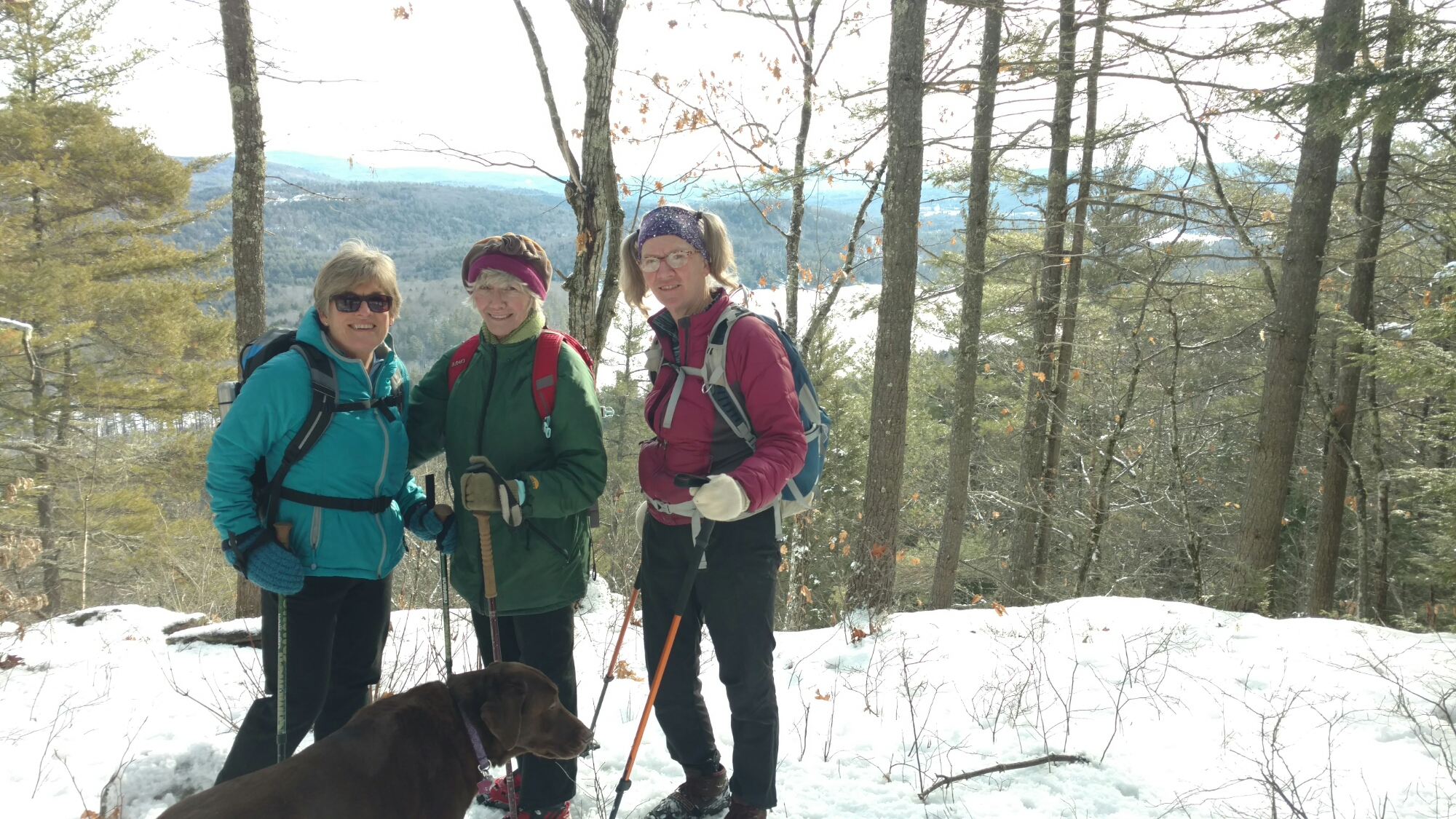
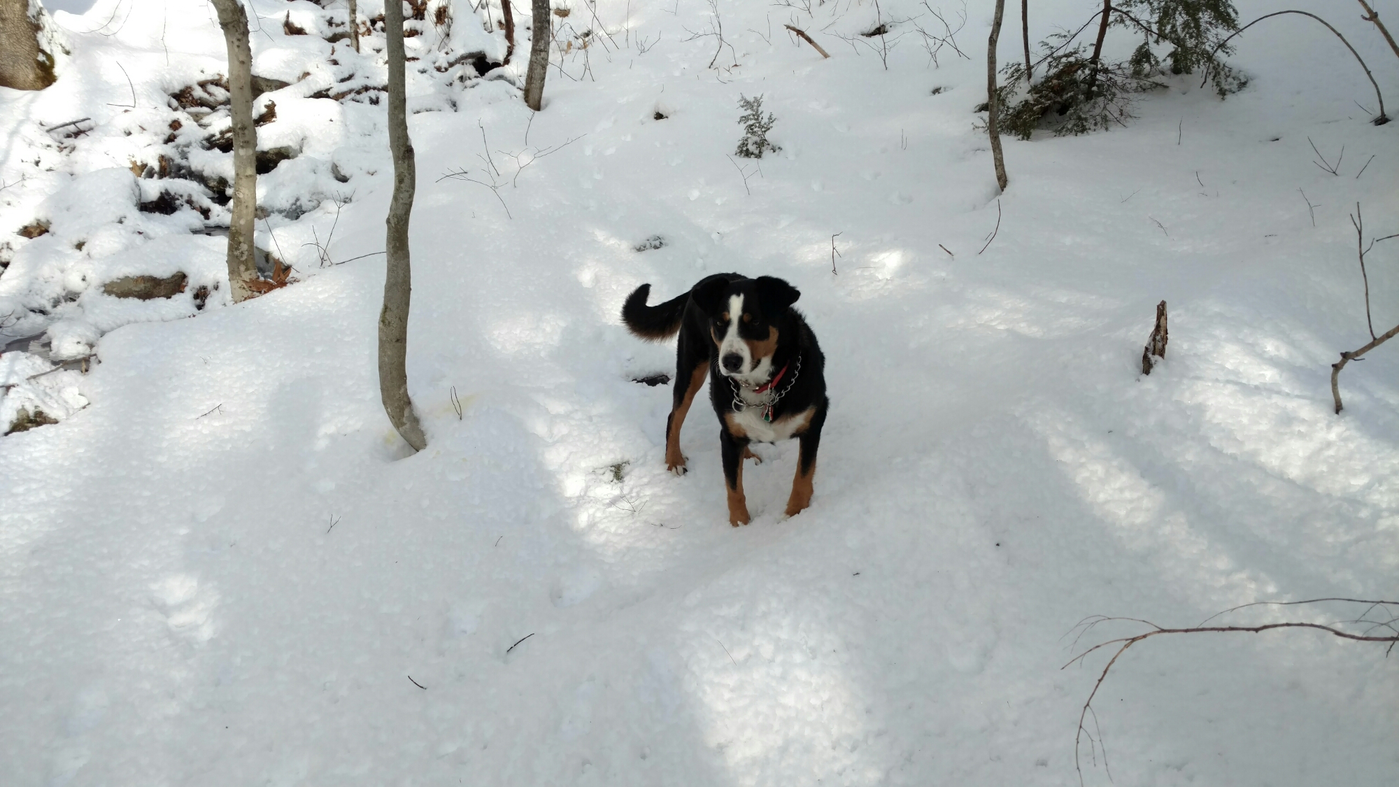
We went out with the Cafe Monte Alto hiking group on this sunny Sunday. We had a pack of dogs along with us; the company was fine and the weather was fine.
There don’t seem to be any maps yet created for the land’s trails. This should give you and idea of just how new these trails are. They are freshly cut, let’s say. The are definitely blazed, but they can be a little tricky to follow. There’s a sharp right turn, for instance about a quarter mile up the trail that I totally missed the first time I was there. I went strait and eventually met up with an old logging road that I’m pretty sure led to some Tucker and Dale vs. Evil style cabin in the back woods. I didn’t really know where I was and I started hearing gunshots and chainsaws not far off, so I decided to turn around.

SO. When walking on these trails just be sure to keep a sharp eye on the blazes and you’ll be fine.
As I was saying there don’t seem to be any maps yet for these trails, so I had to eyeball this above map based on the tracking of the trail I did with my phone’s tracking app. (what a time to be alive!)

The red bands on the trees are one version of blazes you will find on the trails.
The group did the 2.2 mile distance in 1 hour 50 mins. We climbed 617 ft to a max altitude of 1129 ft. So it’s an easy going trail when looking at its specs, but its roughness makes it a bit more challenging. The top of the trail is a plateau on the greater Stinson Mtn. slope, and there’s a lookout point right before heading down over which Loon Lake is visible.
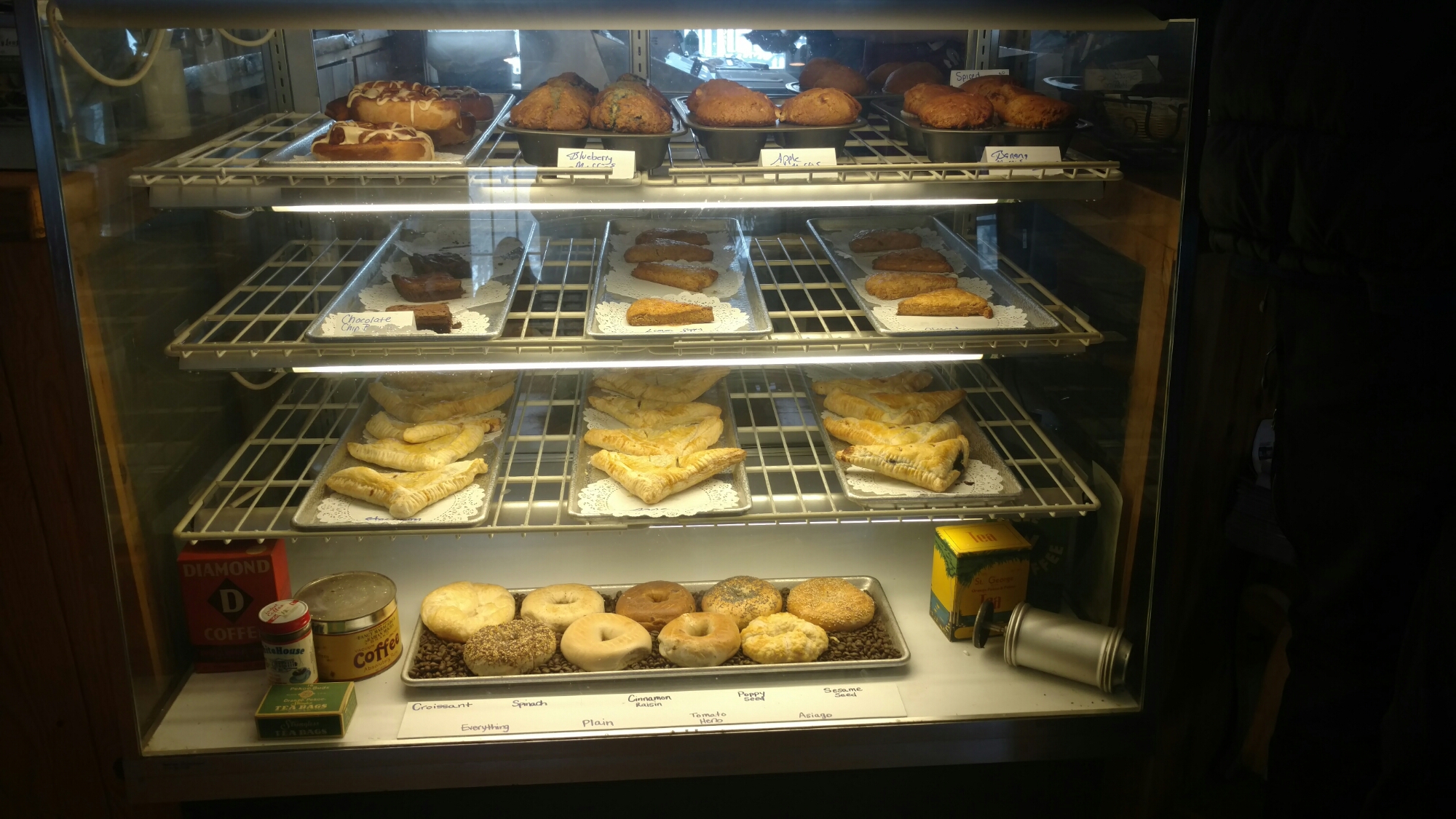
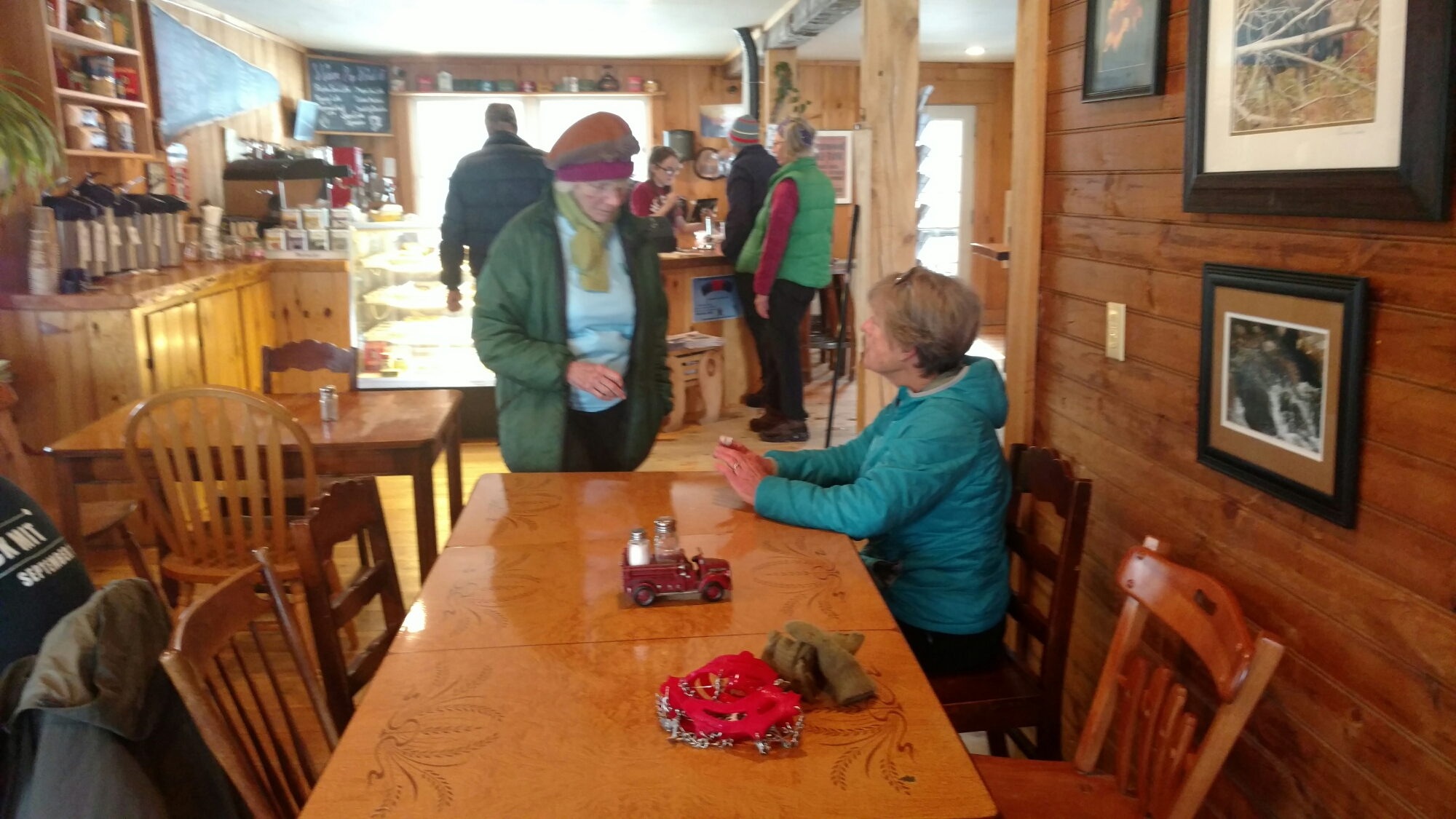
Sunday is hike and feast day in the McCahan house, so after the hike when headed into Rumney Village to get some coffee and brunch at the Common Cafe.

The eats at the cafe are basic and good with a selection of baked items as well as freshly made egg and deli sandwiches. Their soups are also consistently good. Bonus: the place turns into a tavern when the sun goes down, and you can grab some New England brews upstairs in a 24 oz. mason jar. Sounds good to me.
Go outside, then eat good food!

Cheers,
Molly

One response to “Rumney Pleasures”
It is so much fun to read your blogs!
LikeLike